our AI solution
Empowering Drones with True Vertical Dimension Intelligence
VISIONAIRY® Spatial Detection and VISIONAIRY® Navigation, key components of the SPLEENLAB® Suite, provide your drone fleet with superior vertical clearance capabilities.
By accurately perceiving the environment above and below the drone in real-time, our system enables precise altitude holding, safe navigation under overhead structures, and consistent height maintenance above terrain or objects, even in GPS-denied environments.
VISIONAIRY® achieves precise vertical clearance through a combination of advanced sensor processing and AI-driven environmental understanding:
Utilizes cameras (RGB/thermal) and/or LiDAR integrated with VISIONAIRY® Spatial Detection to accurately measure the distance to the ground or obstacles directly beneath the drone, providing true AGL.
Employs cameras and/or LiDAR, also processed by VISIONAIRY® Spatial Detection, to detect ceilings, bridge decks, branches, or other overhead obstructions and measure clearance.
VISIONAIRY® Spatial Detection identifies navigable vertical freespace, allowing the drone to understand safe operational height bands.
A feature of VISIONAIRY® Fusion, this provides rich 3D data from visual sensors, enhancing the understanding of vertical distances.
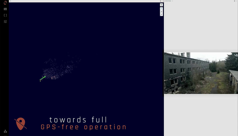
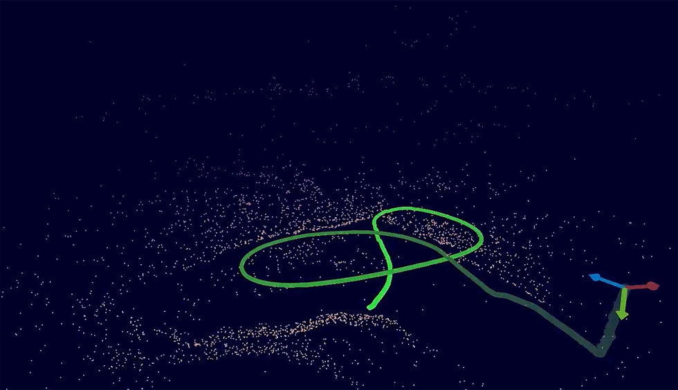
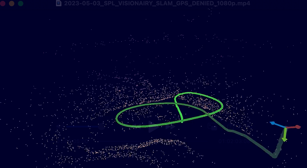
Combines data from visual sensors, LiDAR, IMUs, and barometric altimeters (where available and reliable) for a robust and accurate vertical position and clearance estimation. navigation as they fly between GPS-available and GPS-denied zones.
Ensures accurate positioning in 3D space, including the vertical axis, especially critical in GPS-denied environments for maintaining reliable clearance.
Enter the next level of safe navigation
ON BOARD
We support all chips, all sensors and all robots.
highest embedded performance
We support all chips, all sensors and all robots.
ON BOARD
We support all chips, all sensors and all robots.
Solutions for Drones
Vertical Clearance
The Peril of Misjudging Height – Navigating Safely Above Obstacles and Terrain
When Flying Low is High Risk Without Precision Altitude Awareness
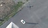
Many critical drone operations require flight at low altitudes or in close proximity to structures, where maintaining precise vertical clearance is essential for safety and mission success. Standard barometric altimeters or GPS-based altitude readings are often unreliable or insufficiently accurate in these demanding scenarios.
Resources
Demo Video
Whitepaper

Blog post
The Cost: Collisions, Mission Failures, and Limited Operational Envelopes
Inaccurate vertical clearance and altitude control lead to significant problems:
Collisions with Overhead Obstacles
Impacting ceilings, bridge undersides, power lines, or tree branches, leading to drone loss or damage.
Impact with Ground/Lower Obstacles
Misjudging height above terrain or objects directly below during low-level maneuvers.
Mission Ineffectiveness
Inability to safely access critical areas for inspection, data collection, or delivery.
Increased Operator Workload & Stress
Manually trying to maintain precise vertical clearance in complex environments is extremely demanding.
Related products
VISIONAIRY™
Visual Inertial Odometry
VISIONAIRY™
MAP BASED RELOCALIZATION
VISIONAIRY™
SLAM - EO | IR
VISIONAIRY™
SLAM - LIDAR

To operate safely and effectively in vertically constrained environments, drones need systems that can:
1
Accurately measure and maintain precise height above ground/obstacles (AGL).
2
Detect and maintain clearance from overhead obstacles (e.g., ceilings, bridge decks).
3
Function reliably in GPS-denied or GPS-degraded conditions.
4
Provide smooth and responsive altitude adjustments.
5
Integrate seamlessly with the drone’s flight control for autonomous vertical navigation.