The Cost: Safety Vulnerabilities, Planning Limitations, and Operational Constraints
These spatial awareness limitations translate into significant impacts:
Safety Incidents
Incomplete environmental understanding leads to navigation errors and potential collisions.
Conservative Operation
Without comprehensive spatial awareness, systems must operate with excessive caution, reducing efficiency.
Limited Maneuverability
Complex maneuvers like tight parking or navigating narrow passages become impossible without complete spatial context.
Inefficient Path Planning
Delays in intelligence dissemination hinder timely decision-making and effective action.
Incomplete Environmental Understanding Limits Vehicle Capabilities
Modern vehicles require comprehensive spatial awareness to navigate safely, but traditional perception approaches provide only fragmented understanding of the environment.
our AI solution
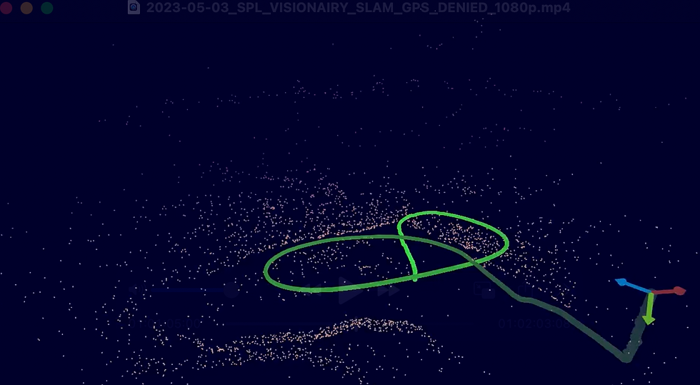
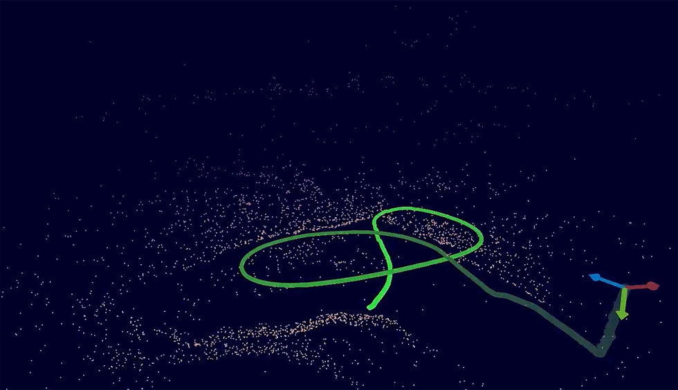
Advancing Spatial Intelligence in Vehicles Through AI-Based Occupancy Mapping
VISIONAIRY® Occupancy Grids provides vehicles with unprecedented spatial understanding through advanced environmental mapping technology.
Our system creates and maintains detailed, probabilistic 3D representations of the vehicle's surroundings in real-time, enabling confident navigation and planning in complex environments.
At the heart of VISIONAIRY® Occupancy Grids is our cutting-edge mapping architecture:
Creates detailed volumetric representations of the environment with explicit uncertainty modeling.
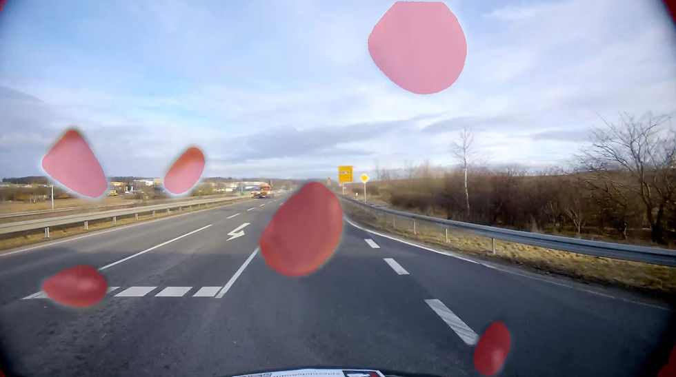
Seamlessly integrates data from cameras, radar, LiDAR, and ultrasonic sensors into a unified spatial model.
Distinguishes between static infrastructure and moving objects for appropriate planning responses.
Maintains consistent mapping over time, remembering previously observed areas even when out of direct sensor view.
Designed specifically for automotive-grade compute platforms, delivering high performance within strict power constraints.
Varies spatial detail based on distance and relevance to optimize computational efficiency.
Related products
VISIONAIRY™
Visual Inertial Odometry
VISIONAIRY™
MAP BASED RELOCALIZATION
VISIONAIRY™
SLAM - EO | IR
VISIONAIRY™
SLAM - LIDAR
Enter the next level of safe navigation
ON BOARD
We support all chips, all sensors and all robots.
highest embedded performance
We support all chips, all sensors and all robots.
ON BOARD
We support all chips, all sensors and all robots.
Resources
Demo Video
Whitepaper

Blog post

Solutions for Vehicles
Occupancy Grids
Solving the Vehicle Spatial Awareness Problem: Achieving Full Environmental Mapping for Safer Navigation

To overcome these challenges, vehicle manufacturers and suppliers require advanced spatial awareness solutions that can:
1
Create complete 3D representations of the vehicle's surroundings with high precision.
2
Maintain consistent mapping as the vehicle moves through the environment.
3
Integrate multiple sensor inputs into a unified spatial understanding.
4
Distinguish between static and dynamic elements in the environment.
5
Remember previously observed areas even when no longer in direct sensor view.
6
Process information in real-time to support dynamic driving scenarios.