What they do
DroneUp is a leading provider of autonomous drone delivery services, transforming last-mile logistics with a focus on speed, efficiency, and scalability. Founded in 2016 and headquartered in Virginia Beach, Virginia, DroneUp operates across a growing number of locations in the United States. The company is committed to innovation and excellence, bringing the future of delivery to customers today.
DroneUp is pioneering a fully autonomous drone delivery ecosystem that integrates cutting-edge ground, air, and software components into a unified platform. At the core of this system are its proprietary DBX ground stations and next-generation drones. These drones offer high-speed, weather-protected delivery within a 30-mile radius, while DBX hubs enable automated package pickup, drop-off, and secure storage.
By minimizing human involvement and leveraging advanced automation, DroneUp is positioned to scale operations and handle millions of deliveries daily for retailers, quick service restaurants, healthcare providers, and other businesses in both urban and suburban areas.

“Spleenlab’s software is incredibly promising for our efforts to increase
automation while maintaining our high safety standards …”
John Vernon | CTO, DroneUp

1
Regulatory Hurdles for BVLOS Operations
Scaling drone deliveries beyond visual line of sight requires complex FAA approvals, slowing nationwide deployment.
2
Urban Infrastructure Constraints
Widespread deployment of DBX ground units faces real estate, zoning, and logistical challenges in dense city environments.
3
High Implementation Costs and Integration Complexity
The advanced technology and infrastructure demand significant investment and seamless coordination with diverse retailer systems.
Challenges

our AI solution
Closing the Autonomy Gap: VISIONAIRY® Precision Landing in Action
To support DroneUp’s vision of a fully autonomous drone delivery ecosystem, Spleenlab has successfully implemented its VISIONAIRY® Precision Landing AI technology into DroneUp’s next-generation drones. This collaboration focused on enabling centimeter-level landing accuracy through advanced computer vision and machine learning models, allowing drones to autonomously identify and align with designated landing zones—even in challenging urban environments.
Working closely with the DroneUp engineering team in Virginia, Spleenlab conducted extensive testing and fine-tuning, resulting in outstanding and highly reliable landing performance. This solution played a key role in automating one of the most critical handoffs in DroneUp’s delivery process: the precise and safe landing on DBX ground stations.
The integration of VISIONAIRY® closed a key technical gap in DroneUp’s autonomy stack, enabling drones to perform consistently safe landings with minimal human oversight. Beyond just landing accuracy, the AI-powered system enhances vertical clearance sensing, obstacle detection, and dynamic flight adaptation, allowing drones to navigate complex real-world conditions, avoid collisions, and adjust in real time to changes in terrain or weather. By delivering this high level of precision and operational safety, Spleenlab’s AI solution significantly advances DroneUp’s ability to scale operations while maintaining compliance and reliability in increasingly dense and unpredictable airspaces.


VISIONAIRY® GPS-Denied Navigation
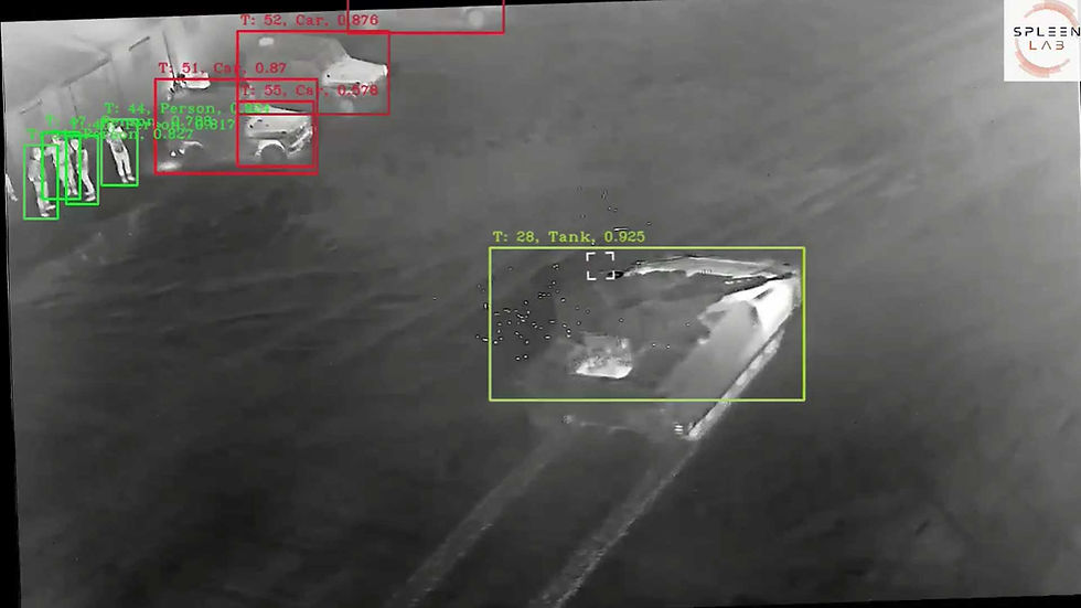
Enables Quantum-Systems drones to detect and track multiple targets simultaneously with high accuracy, even in complex and GPS-denied environments. Optimized for onboard AI processing, it enhances situational awareness and supports autonomous mission execution by providing real-time, reliable target monitoring.

VISIONAIRY® Single Object Tracking
Our Single Object Tracking solution equips Quantum-Systems drones to reliably follow a selected target with high precision throughout the mission. Real-time onboard processing ensures stable tracking and continuous updates, even in dynamic or GPS-denied environments, supporting focused, responsive operations.

VISIONAIRY® GPS-Denied Navigation
Our GPS-Denied Navigation solution leverages Visual-Inertial Odometry (VIO) combined with Map-Based Relocalization to enable Quantum-Systems drones to accurately localize and navigate autonomously when GPS is unavailable or jammed. By fusing visual and inertial sensor data with pre-built maps, the drones maintain reliable positioning and mission continuity even in highly contested environments.

Impact
Centimeter-Precise Landings
VISIONAIRY® enabled highly accurate autonomous landings, ensuring safe and reliable drone docking on compact DBX stations.
Increased Operational Safety
AI-powered obstacle detection and vertical clearance sensing significantly reduced landing risks in complex urban environments.
Scalability Through Automation
By eliminating manual landing intervention, the solution helped DroneUp scale its delivery network with minimal human oversight.
Enhanced System Reliability
Real-time AI decision-making improved flight adaptability to dynamic conditions like weather and terrain, boosting overall mission success rates.