Enter the next level of safe navigation
ON BOARD
We support all chips, all sensors and all robots.
highest embedded performance
We support all chips, all sensors and all robots.
ON BOARD
We support all chips, all sensors and all robots.
Solutions for Drones
Terrain Following
The Challenge of Low-Altitude Flight Over Uneven Ground
The Cost: Inconsistent Data, Collisions, and Mission Ineffectiveness
Failure to accurately follow terrain can lead to severe consequences:
Ground Collisions
The most obvious risk, resulting in loss of the drone, payload, and mission failure.
Inconsistent Data Quality
For surveying or remote sensing, variations in AGL can lead to inaccurate measurements, distorted imagery, and unusable data.
Inefficient Operations
Drones flying too high may miss targets or collect poor-quality sensor data; flying too low increases risk and may not cover the intended area effectively.
Increased Risk to Assets
Flying unnecessarily close to the ground when not required increases wear and tear and the chance of minor impacts.
Maintaining Consistent Low Altitude is a High-Stakes Balancing Act
Many drone applications, from agriculture and surveying to defense and environmental monitoring, require drones to fly at a consistent, low altitude above varying terrain. Standard altitude control systems, reliant on barometric pressure or basic GPS, are ill-equipped to handle the dynamic changes in ground elevation, leading to inefficient operations and significant safety risks.
our AI solution
Enabling Your Drones to Intelligently Hug the Earth
VISIONAIRY® Navigation, in conjunction with VISIONAIRY® Spatial Detection, empowers your drone fleet with advanced, AI-driven terrain-following capabilities.
This solution allows your drones to autonomously maintain a precise altitude above ground level (AGL), dynamically adjusting to the contours of the land with exceptional accuracy and responsiveness, even in complex and GPS-denied environments.
Our terrain-following solution leverages a sophisticated fusion of sensor data and AI algorithms:
Utilizes data from LiDAR and/or cameras (RGB/Thermal) processed by VISIONAIRY® Spatial Detection to build a high-resolution, real-time 3D map of the terrain directly beneath and ahead of the drone.
Provided by VISIONAIRY® Fusion, this enhances the 3D understanding of the terrain from visual sensors, crucial for identifying subtle changes in elevation.
Algorithms analyze the sensor data to accurately determine the true AGL and predict upcoming changes in terrain elevation.
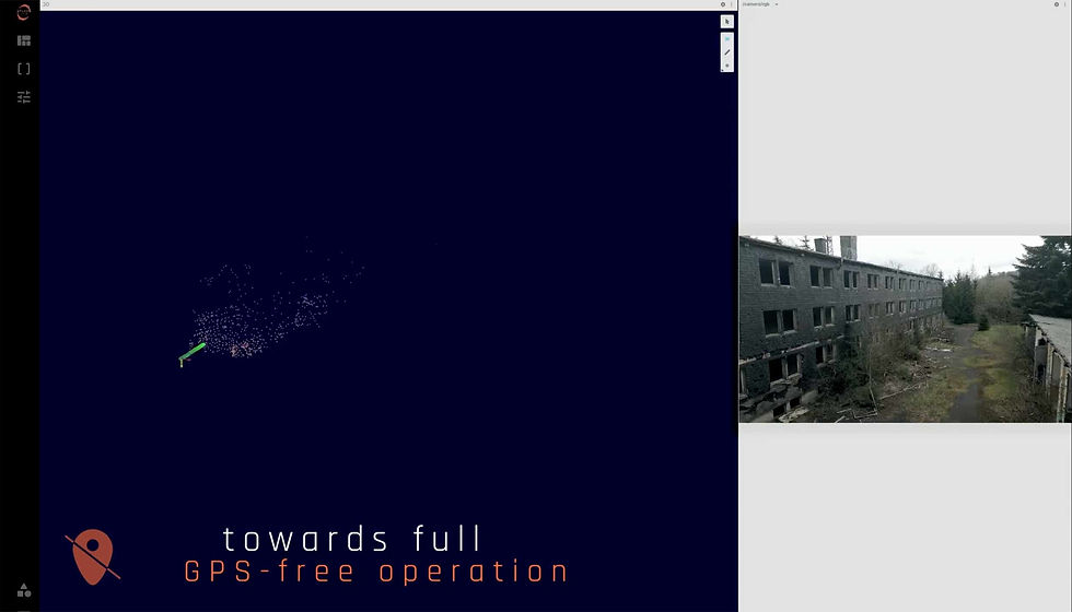
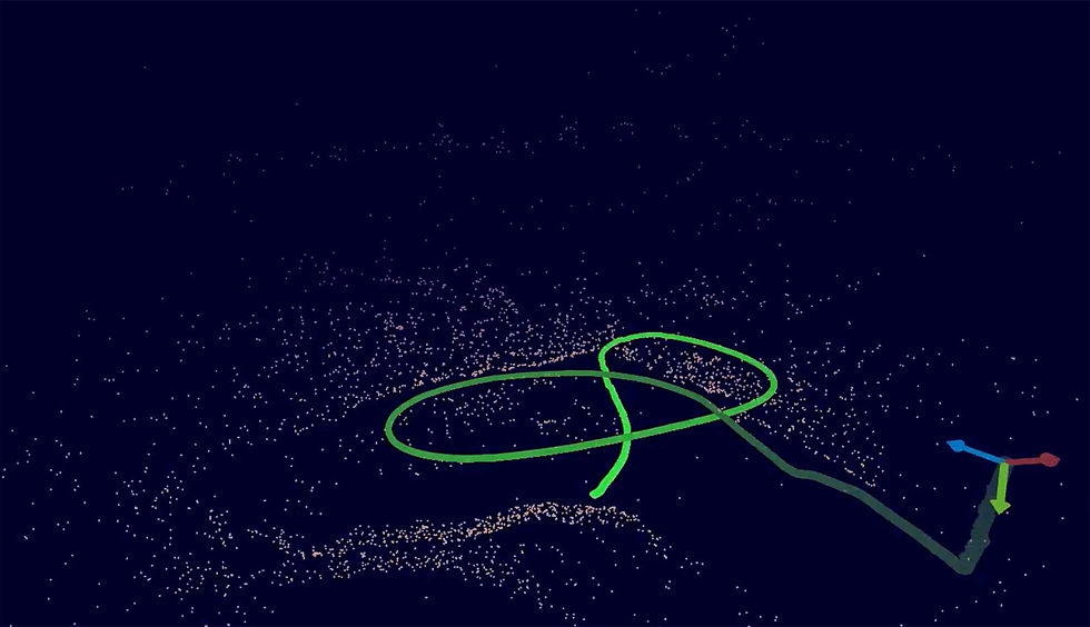
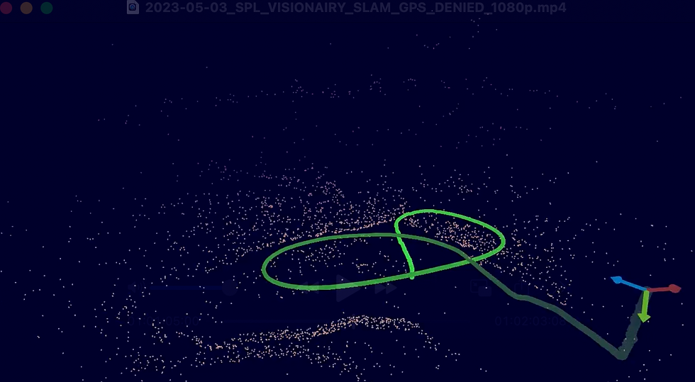
For operations in GPS-denied environments, VISIONAIRY® SLAM provides robust and accurate drone positioning, which is critical for reliable terrain-following when global positioning is unavailable.
VISIONAIRY® Spatial Detection also identifies navigable airspace, ensuring the terrain-following path is clear of overhanging obstacles or vertical obstructions, working in concert with overall collision avoidance.
Full ISR capability maintained even without GPS, thanks to our industry-leading visual SLAM navigation.

To unlock the full potential of low-altitude drone operations, systems are needed that can:
1
Accurately sense the terrain profile in real-time, directly beneath and ahead of the drone.
2
Autonomously adjust the drone’s altitude to maintain a precise, operator-defined AGL.
3
Function reliably over diverse terrain types and in various environmental conditions, including GPS-denied areas.
4
Integrate seamlessly with collision avoidance systems to navigate around unexpected ground obstacles.
5
Provide smooth and responsive flight control for stable data acquisition.
Resources
Demo Video
Whitepaper

Blog post
Related products
VISIONAIRY™
Visual Inertial Odometry

VISIONAIRY™
MAP BASED RELOCALIZATION
VISIONAIRY™
SLAM - EO | IR
VISIONAIRY™