
visionairy®
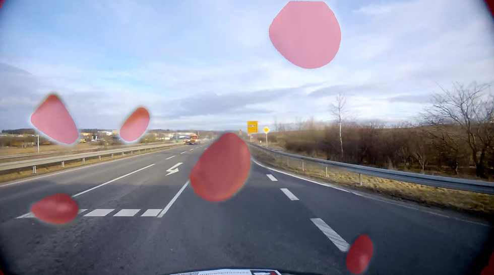
occupancy Grids
Delivers clear, real-time spatial awareness by mapping free and occupied areas, empowering autonomous systems to navigate confidently and avoid obstacles with precision.
Why Occupancy Grids?
VISIONAIRY® Occupancy Grids transform complex environments into clear, actionable maps that help autonomous systems navigate safely and avoid obstacles with ease. By instantly identifying free, occupied, and unknown spaces, they enable smarter, faster decision-making in any setting.
With real-time updates, occupancy grids keep your system agile and responsive to changing environments, ensuring reliable performance for drones, robots, and vehicles—boosting safety and efficiency wherever autonomy matters most.
Clear, actionable maps for safe and efficient navigation
Real-time updates for rapid adaptation to changes
Enhances reliability and performance in autonomous systems
See how it works

Performance Metrics
Position accuracy
±2.5 cm in typical environments
update rate
Up to 200 Hz
initialization time
<1 second
Maximum Velocity
20 m/s with full accuracy
Operating Range
Unlimited (environment-dependent)
Drift
<0.1% of distance traveled
Benefits
Improved Navigation Accuracy
Enhances path planning by precisely identifying free and occupied spaces for safer movement.
Increased Safety
Minimizes collision risks by providing clear obstacle detection in complex environments.
Scalable Integration
Easily adapts to different autonomous platforms, from drones to ground vehicles.
Features
Here are the core features that make our occupancy grid solution essential for precise, reliable autonomous navigation:
Dynamic Environment Mapping - Continuously updates the grid to reflect real-time changes in the surroundings.
Clear Space Classification - Distinguishes between free, occupied, and unknown areas for accurate navigation.
High-Resolution Grids - Provides detailed spatial information to improve obstacle detection and path planning.
Seamless Sensor Integration - Combines data from LiDAR, cameras, and other sensors for a comprehensive environment view.
Optimized for Efficiency - Designed for fast processing on embedded systems to support real-time decision-making.


These performance metrics are for demonstrative purposes only, based on configurations with proven results. Actual performance may vary by setup. Our algorithms are optimized for use with any chip, platform, or sensor. Contact us for details.
Reprojection Error
±1 px in typical environments
Runtime
30-90 min
Required Recording Length
3-5 min
Supported companion hardware
Nvidia Jetson, AMD64 device with Nvidia GPU
Supported flight controllers
PX4, APX4, Ardupilot
Basis-SW/OS
Linux, Docker required
Interfaces
ROS2 bag
Input - Sensors
Any type of camera (sensor agnostic)
Any type of IMU or GPS
Input - Data
1) Camera's video frames
2) IMU's raw measurements
3) GPS points
Output - Data
Intrinsic and extrinsic calibration in 'kalibr' format
Minimum
Recommended
RAM
16 GB
32 GB
Storage
30 GB
50 GB
Camera
640 x 480 px, 10 FPS
1920 x 1080 px, 30 FPS
IMU
100 Hz or GPS
300 Hz or GPS
The information provided reflects recommended hardware specifications based on insights gained from successful customer projects and integrations. These recommendations are not limitations, and actual requirements may vary depending on the specific configuration.
Our algorithms are compatible with any chip, platform, sensor, and individual configuration. Please contact us for further information.